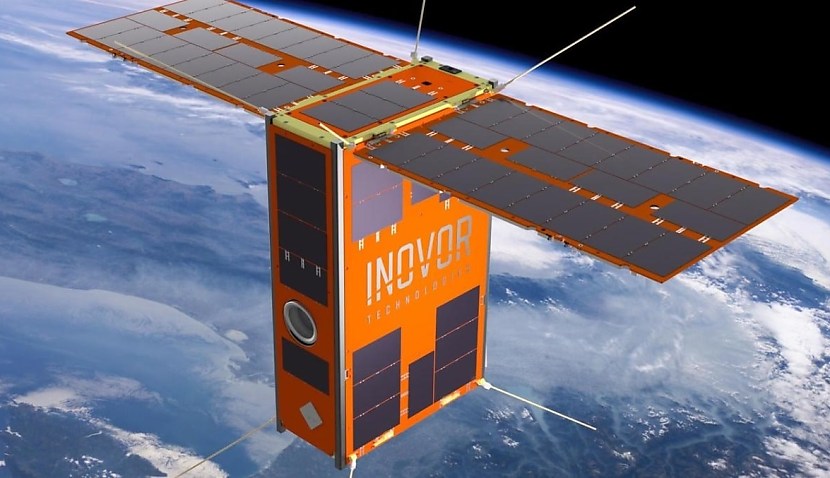
The project, led by the University of South Australia (UniSA) and funded by SmartSat CRC, uses AI onboard CubeSats and will eventually be utilised on South Australia’s upcoming Kanyini mission.
The technology will also take advantage of a hyperspectral imager, a device that analyses the composition of materials on Earth from space.
“Remote sensing and computer science researchers have overcome the limitations of processing and compressing large amounts of hyperspectral imagery on board the smaller, more cost-effective cube satellites before sending it to the ground for analysis, saving precious time and energy,” said UniSA.
“Equipped with a hyperspectral imager, the satellite sensor captures reflected light from Earth in different wavelengths to generate detailed surface maps for various applications, including bushfire monitoring, water quality assessment and land management.”
“Lead researcher UniSA geospatial scientist Dr Stefan Peters says that, traditionally, Earth observation satellites have not had the onboard processing capabilities to analyse complex images of Earth captured from space in real-time.
“His team, which includes scientists from UniSA, Swinburne University of Technology and Geoscience Australia, has overcome this by building a lightweight AI model that can detect smoke within the available onboard processing, power consumption and data storage constraints of cube satellites.
“Compared to the on-ground based processing of hyperspectral satellite imagery to detect fires, the AI onboard model reduced the volume of data downlinked to 16 per cent of its original size, while consuming 69 per cent less energy.”
Dr Peters said smoke is usually the first thing you can see from space before the fire gets hot and is big enough for sensors to identify it.
A simulation ran on a past fire in Coorong took less than 14 minutes to detect the smoke and then send the data to the ground station.
“For most sensor systems, only a fraction of the data collected contains critical information related to the purpose of a mission,” Peters said.
“Because the data can’t be processed on board large satellites, all of it is downlinked to the ground where it is analysed, taking up a lot of space and energy.
“We have overcome this by training the model to differentiate smoke from cloud, which makes it much faster and more efficient.
“This research shows there are significant benefits of onboard AI compared to traditional on-ground processing.
“This will not only prove invaluable in the event of bushfires but also serve as an early warning system for other natural disasters.”
Space Connect reported earlier this year how the Kanyini satellite is edging closer to launch after successfully completing a series of trials designed to determine whether it can withstand the rigours of space.
The “Environmental Stress Screening” (ESS) involved exposing the low-Earth orbit (LEO) spacecraft to “extreme temperature variations”, intense vibrations, and “crushing vacuum conditions” ahead of its planned blast-off later this year.
The project is a unique collaboration between the South Australia state government, SmartSat CRC, satellite manufacturer Inovor Technologies, and global IoT provider Myriota.

Adam Thorn
Adam is a journalist who has worked for more than 40 prestigious media brands in the UK and Australia. Since 2005, his varied career has included stints as a reporter, copy editor, feature writer and editor for publications as diverse as Fleet Street newspaper The Sunday Times, fashion bible Jones, media and marketing website Mumbrella as well as lifestyle magazines such as GQ, Woman’s Weekly, Men’s Health and Loaded. He joined Momentum Media in early 2020 and currently writes for Australian Aviation and World of Aviation.
Receive the latest developments and updates on Australia’s space industry direct to your inbox. Subscribe today to Space Connect here.


